MTB IN THE PONTEDILEGNO-TONALE AREA, HOME TO THE OFFROAD
Mountain biking is the queen of two-wheel offroad disciplines: born in California in the late 1970s, it quickly established itself as one of the most popular sports in the world. A real gateway to a world made of enchanting scenery, uncontaminated nature and emotions. In the Pontedilegno-Tonale area, MTB finds its maximum expression.
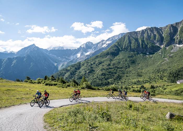
26 MTB routes for a total of 500 km, divided into easy, medium and difficult, fully signposted and tracked with GPS. You get on your MTB, we will take you to discover fabulous places: mountain pastures, trenches and panoramic points, in the nature of the Stelvio National Park and the Adamello Park.
- 26 tracks for a total of 500 km
- Itineraries for all levels: from beginners to advanced
- Enchanting scenery and uncontaminated nature
- Possibility of renting, purchasing, maintaining and storing bikes
SOME USEFUL INFORMATION TO BEST EXPERIENCE MTB AT PONTE DI LEGNO AND TONALE…
All routes are fully mapped and can be consulted here, secure your smartphone to the handlebars and follow the road!
Sure! There are many MTB rental shops between Ponte di Legno and Passo Tonale. In addition to bikes, here you can find all the accessories needed to live your passion in maximum safety and a maintenance service.
Not only they do exist, but they are also the best way to have fun safely and discover the most beautiful and evocative itineraries in our area. Whatever your level and whatever your needs, an instructor will help you improve and maximize your fun.
500km of open-air emotions

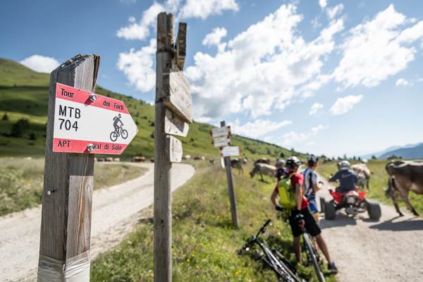
All 26 MTB trails in the Pontedilegno-Tonale area, at the foot of Adamello and on our beautiful mountains, are signposted with special directional arrows, entirely mapped with GPS and also accessible from mobile.
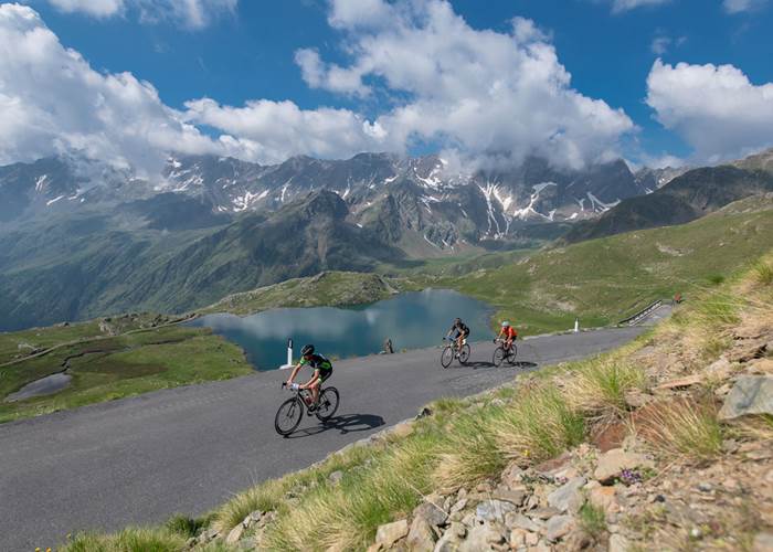
12 of these routes can also be tackled with a Gravel bike.
Each biker can opt for the itinerary best suited to their abilities and physical preparation thanks to the specific maps with descriptions, mileage and differences in altitude.
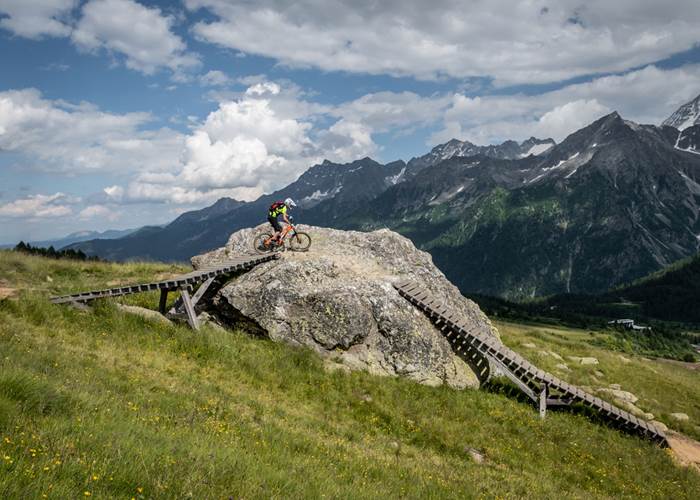
The itineraries are divided into three difficulty levels: blue (easy), for those looking for an undemanding but no less exciting route; red (medium), dedicated to those who are reasonably trained: these are often long rides with quite significant differences in altitude; black (difficult), for those who are only satisfied with the maximum: they have high differences in altitude and present very technical sections, even at high altitude.


